Place of Origin : Ahwaz,China
Delivery Terms : 8 Days
Delivery Time : 8 Days
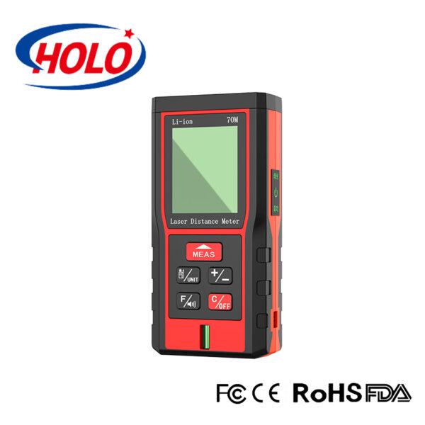
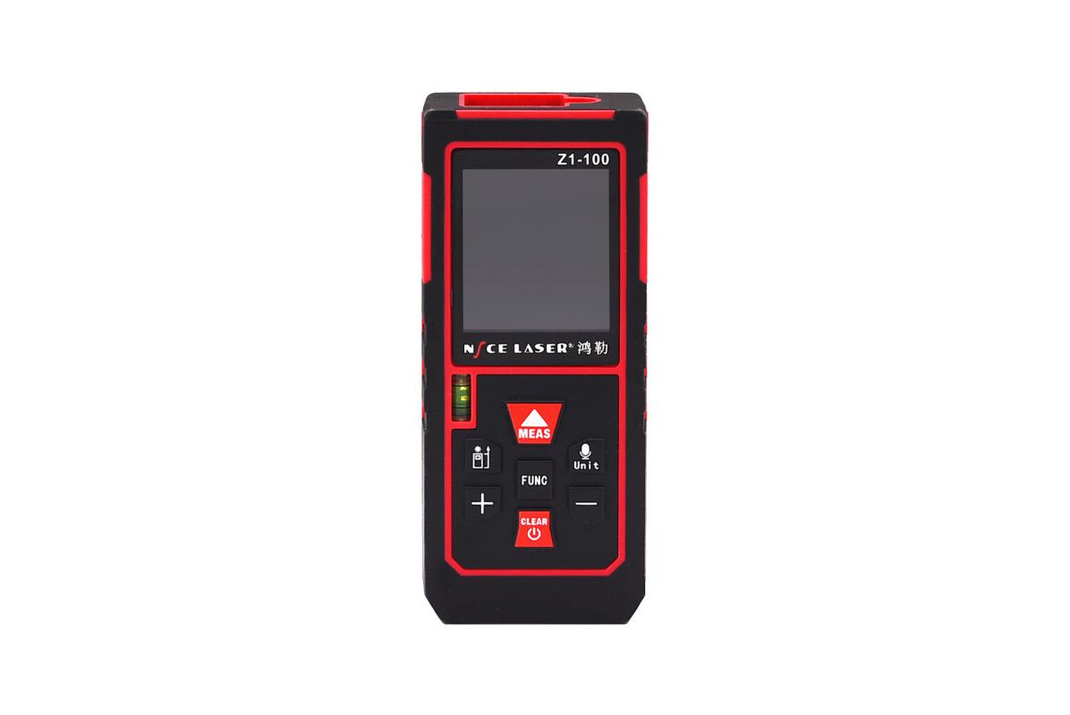
Features:
Measuring range:0.05~30m
Measuring accuracy:±3mm
Function:Single Measurement,Continuous Measurement, Area Measurement, Data storage , Bluetooth
Power Supply:Lithium Battery
LCD Display
Functions:
In geographic information systems (GIS), digital distance measurement technology can help cartographers accurately draw maps and analyze and process geospatial data.
| 1 | Part No. | X-30 |
| 2 | Measuring Range | 0.05~30m |
| 3 | Measuring Accuracy | ±3mm |
| 4 | Measurement Speed | 0.5~1S |
| 5 | Measurement Unit | m |
| 6 | Continuous Measurement | Yes |
| 7 | Charging | Type-C |
| 8 | Battery | Lithium Battery |
| 9 | Laser Class | Class II |
| 10 | Operating Temperature | -5~40? |
| 11 | Storage Temperature | -20~60? |
| 12 | Weight | 41g |
| 13 | Dimension | 70*34*19mm |
| 14 | Bluetooth Model | BT04-E, Double Mode, Support IOS, Android |